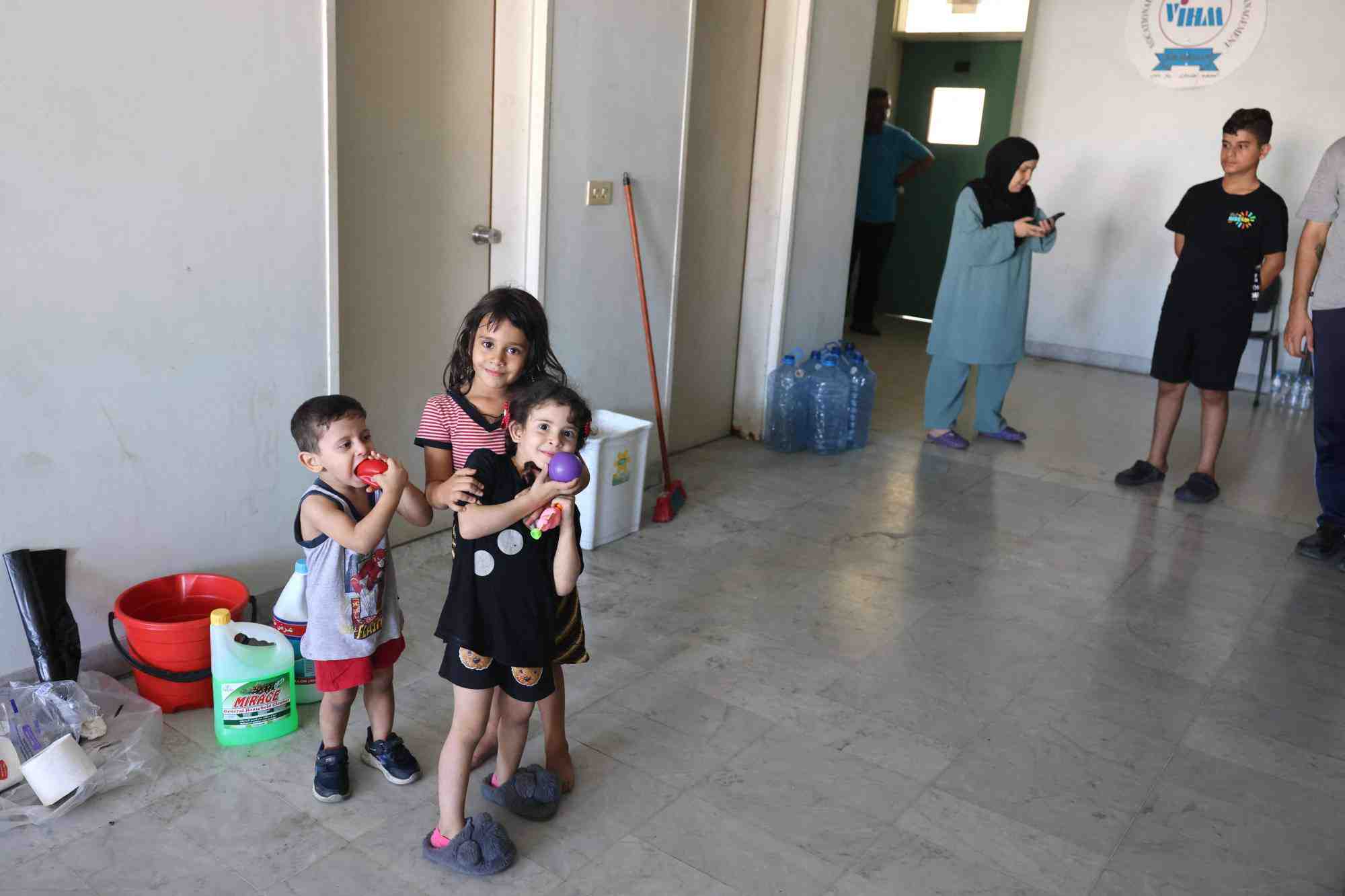
LEBANON — A joint assessment by the United Nations Development Programme (UNDP) and Lebanon’s National Council for Scientific Research (CNRS-L) has revealed significant structural destruction across Beirut and Mount Lebanon following the 2026 conflict.
The report, titled Building Level Damage Assessment, estimates hundreds of millions of dollars in damage and identifies widespread impact on housing and urban infrastructure.
AI-Driven Assessment and Verification
The study used advanced geospatial artificial intelligence tools, including the Segment Anything Model (SAM) combined with a Low-Rank Adaptation (LoRA) framework, to detect structural damage across densely built urban areas. The system was previously adapted for high-density damage detection and applied to Lebanon’s urban environment.
To ensure accuracy, findings were validated through multiple layers, including satellite imagery comparisons between February 28 and April 14, 2026, cross-referencing with UNOSAT data, and field verification conducted by CNRS-L teams alongside Lebanese Armed Forces (LAF) and UN agencies.
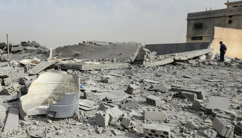
Scale of Destruction
The assessment reports:
146 buildings destroyed
264 buildings partially damaged
Over 7,659 housing units affected
Approximately 648,942 cubic meters of debris
Estimated structural damage exceeding USD 365 million
The report highlights that Mount Lebanon accounts for the vast majority of damage, with 94% of structural losses and 96% of affected housing units concentrated in the governorate.
Baabda Identified as Epicenter
Baabda District emerged as the most heavily affected area, with over 7,000 housing units impacted. The Haret Hreik cadaster recorded the highest concentration of destruction, while other affected areas include Hadath, Bourj El-Brajneh, and Chiyah.
Beirut Governorate experienced more localized damage, including key losses in Mazraa, while Aley also recorded significant financial impact.
Recovery Challenges
The report estimates that debris generated by the destruction ranges between 1.1 and 1.46 million tonnes, presenting major logistical and environmental challenges for recovery operations. Baabda alone accounts for the majority of this volume.
Limitations and Next Steps
The authors note that the assessment covers only above-ground structures and does not include damage to underground infrastructure, roads, bridges, or utility networks.
This publication marks the first in a series of planned reports, with future assessments expected to cover South Lebanon, Nabatiyeh, Baalbeck-Hermel, and the Bekaa region.
UN agencies and national partners say the findings will support emergency response planning, debris removal, and reconstruction prioritization efforts.